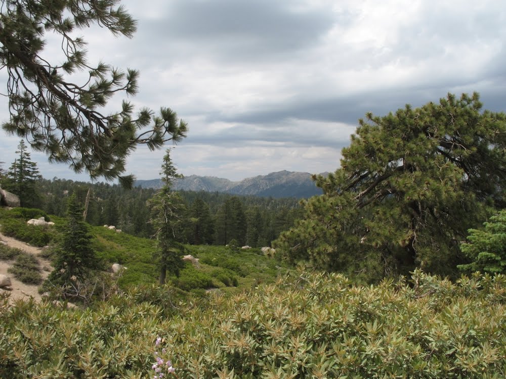
In the San Bernardino Mountains, looking north towards Big Bear Lake from the high country along Forest Road 2N10. Click photos to embiggen.
The San Bernardino Mountains of Southern California are a transverse range, which means they run east-west, unlike most mountain ranges in North America. If I remember correctly, California has the only transverse ranges in the nation. Geology is
If you're feeling adventurous you can reach Big Bear Lake from the south via Forest Road 1N54: Clark's Grade. Back in the early 1900s this dirt track was the main road to the lake, and visitors generally traveled in the motorized stages operated by White's Mountain Auto Line. My mother's father drove a stage for the Mountain Auto Line every summer while he was a student at USC. I'm looking at his badges right now, along with a photo of Grandpa and his fellow drivers in front of the Freight & Passenger Station at Big Bear Lake. "Registered Chauffeur": 1916, 1917, 1918, 1919. It was in 1919 that my great-grandmother got the lot lease for the cabin.
Clark's Grade was [is] a series of dusty switchbacks, and it must have been an experience to drive up the Grade in an open stage. The descent from Clark's Summit [elevation 8000'] into Big Bear Valley is beautiful. Bluff Lake and Metcalf Meadows are as lovely today as they must have looked to visitors escaping the inland valley heat back in 1916. [Speaking of which: 99F down the hill today — 79F at the cabin.] The stages used to rumble down Mill Creek Road [below our cabin] and pass through the toll gate at Oak Knoll Lodge, and then they'd roll on a few more miles to the other lodges and hotels by the lake.
Nowadays the main roads to Big Bear are City Creek [Highway 330] and Highways 18 and 38. Clark's Grade, the toll gates and the old dirt roads are ancient history. Those roads belong to mountain bikers now, and to high-clearance vehicles like my trusty Ford pickup. On a recent drive to Bluff Lake [it's two/three miles from the cabin] and then east for seven miles to Moonridge via 2N10, we saw maybe a dozen mountain bikers, and just three or four motor vehicles.
 A marshy meadow at the east end of Bluff Lake.
  Ferns along the north shore. I was birding here in early June [a month before these photos were taken] and there were no ferns in sight — just pine needles and scattered banks of snow.
 From the gallery of Unfortunate Family Photos: my sis holds a confab with Lily the Pug at one of the forest's countless boulder formations.
 Bluff Lake, with mallards.
 I know what you're thinking: this rock would look better with a pug.
 And walla, as we say here in California. Much better.
 Home, sweet home: old cabin on the north shore of Bluff Lake. From left: Grayling the border collie [who turned eleven in July], my beautiful sis, and the always photogenic Princess LilyPug.
1 comment:
"walla" and not "voila"?
If only I could find a picture of Viola Voila, girl bug.
Post a Comment